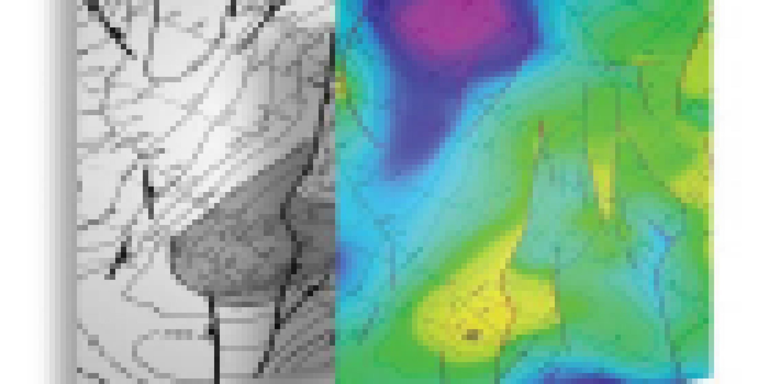
Maps Digitization & Georeferencing
Includes geographic maps, geological maps, base maps, geo database, geo-referencing, digital map files, and data conversion
Geospatial Analysis
Includes resource assessment & reservoir characterization, prospect identification & evaluation, spatial data integration & visualization, well planning & optimization, and infrastructure planning & assessment management.

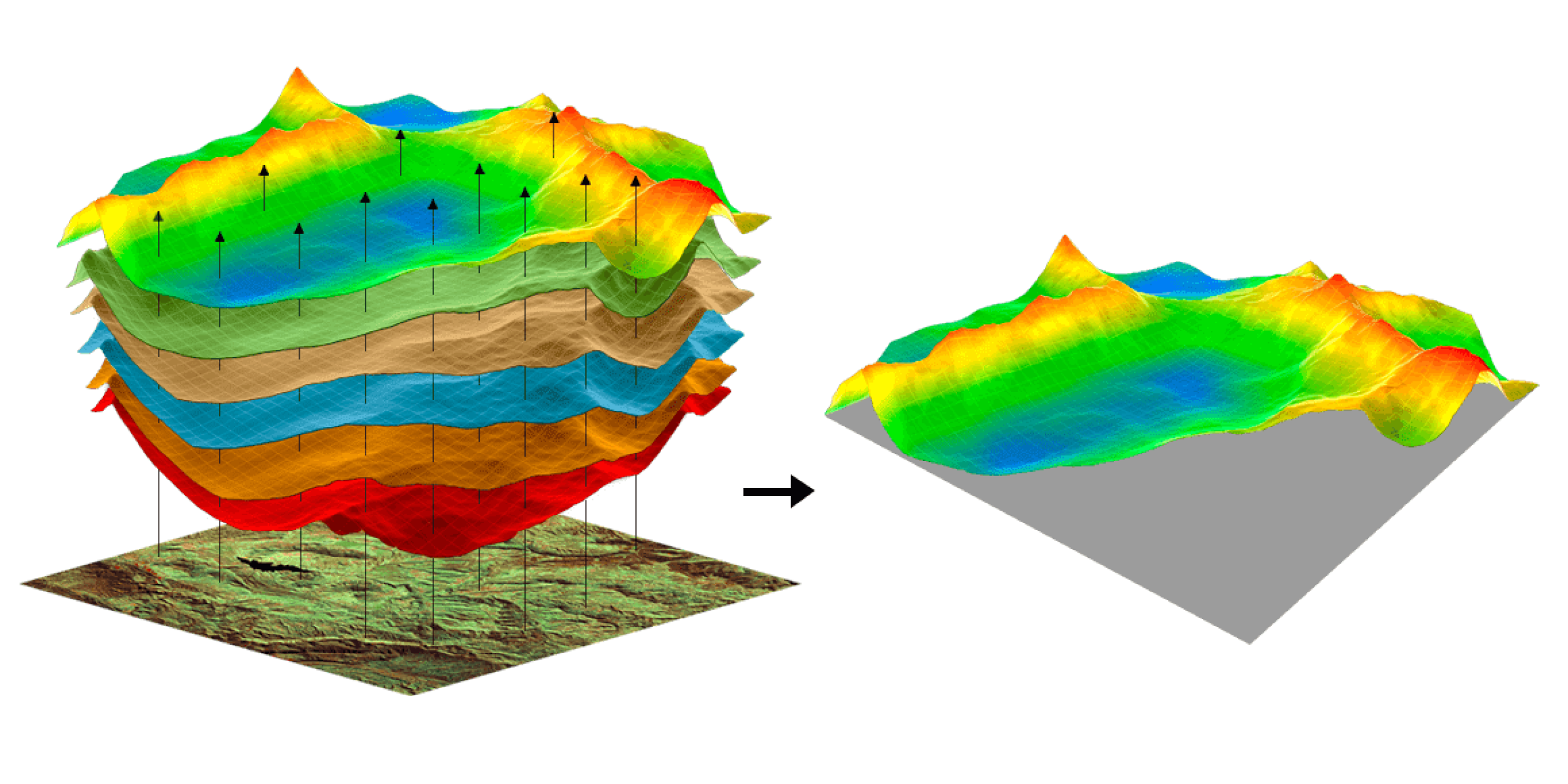
Cartography & Geo database
Encompasses digital maps and customized data visualization, including Cross-sections, Geospatial data, 3D models, Correlations, and data integration with GIS applications.
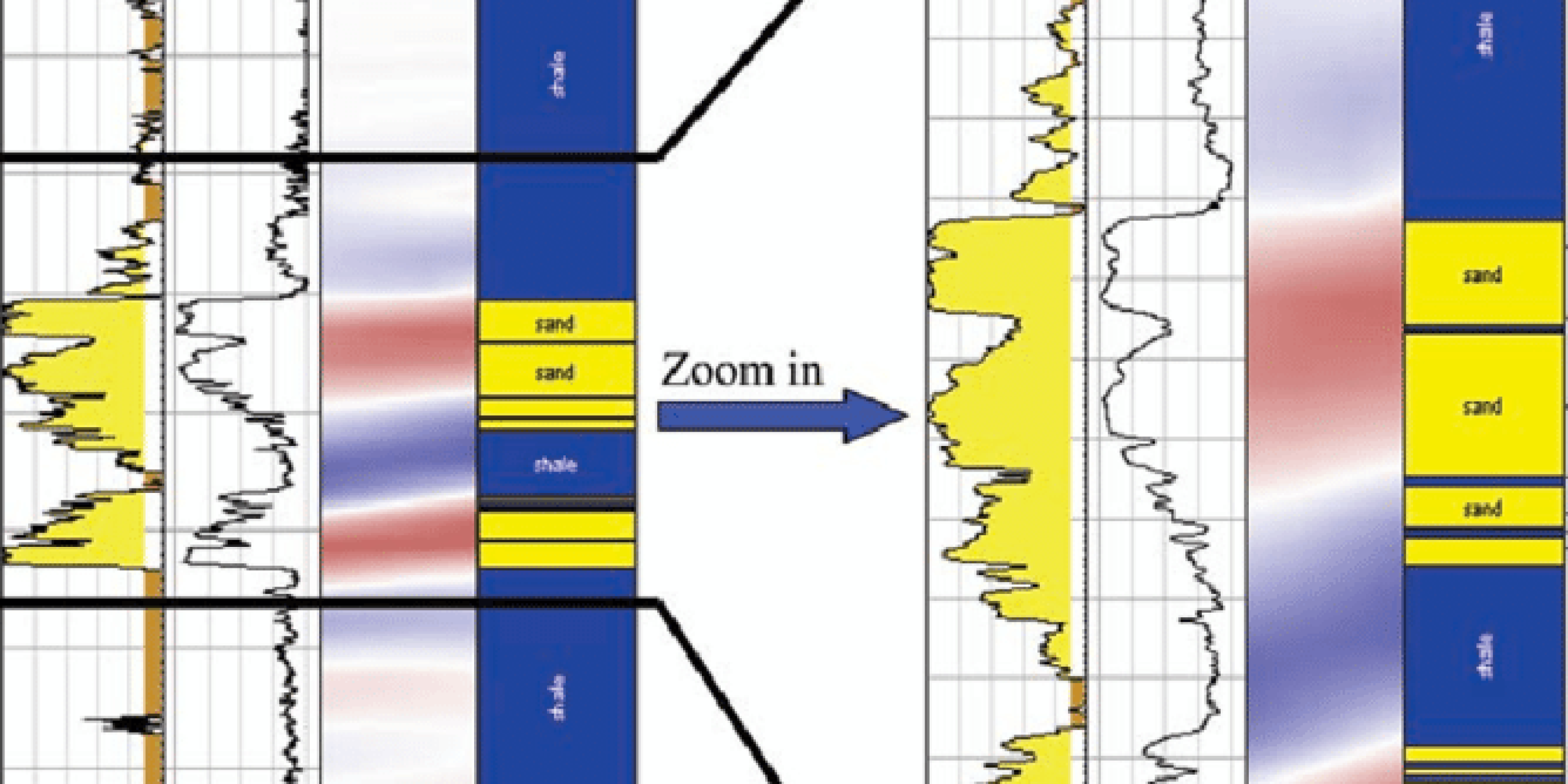
Seismic & Well Locations Reconciliation
Includes maps digitization, geo-referencing & correction, geodetic analysis, and seismic reconciliation, providing fully reconciled SEG-Y data that can be loaded into geoscience Software applications for further analysis, processing, and interpretation.


