Rockworks®
Rockworks®
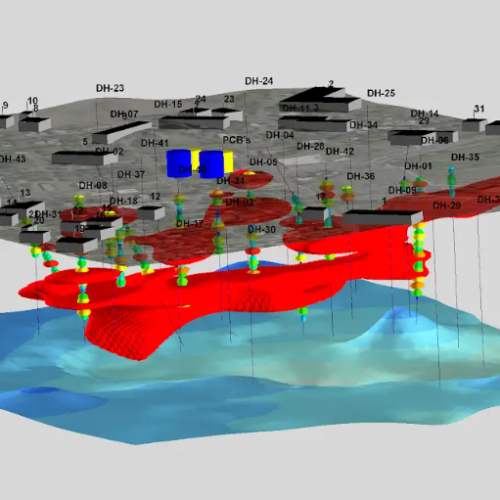
RockWorks is a comprehensive software program for creating 2D and 3D maps, logs and cross sections, geological models, volume reports, and general geology diagrams for the environmental, geotechnical, mining, and petroleum industries.
Features
Mapping
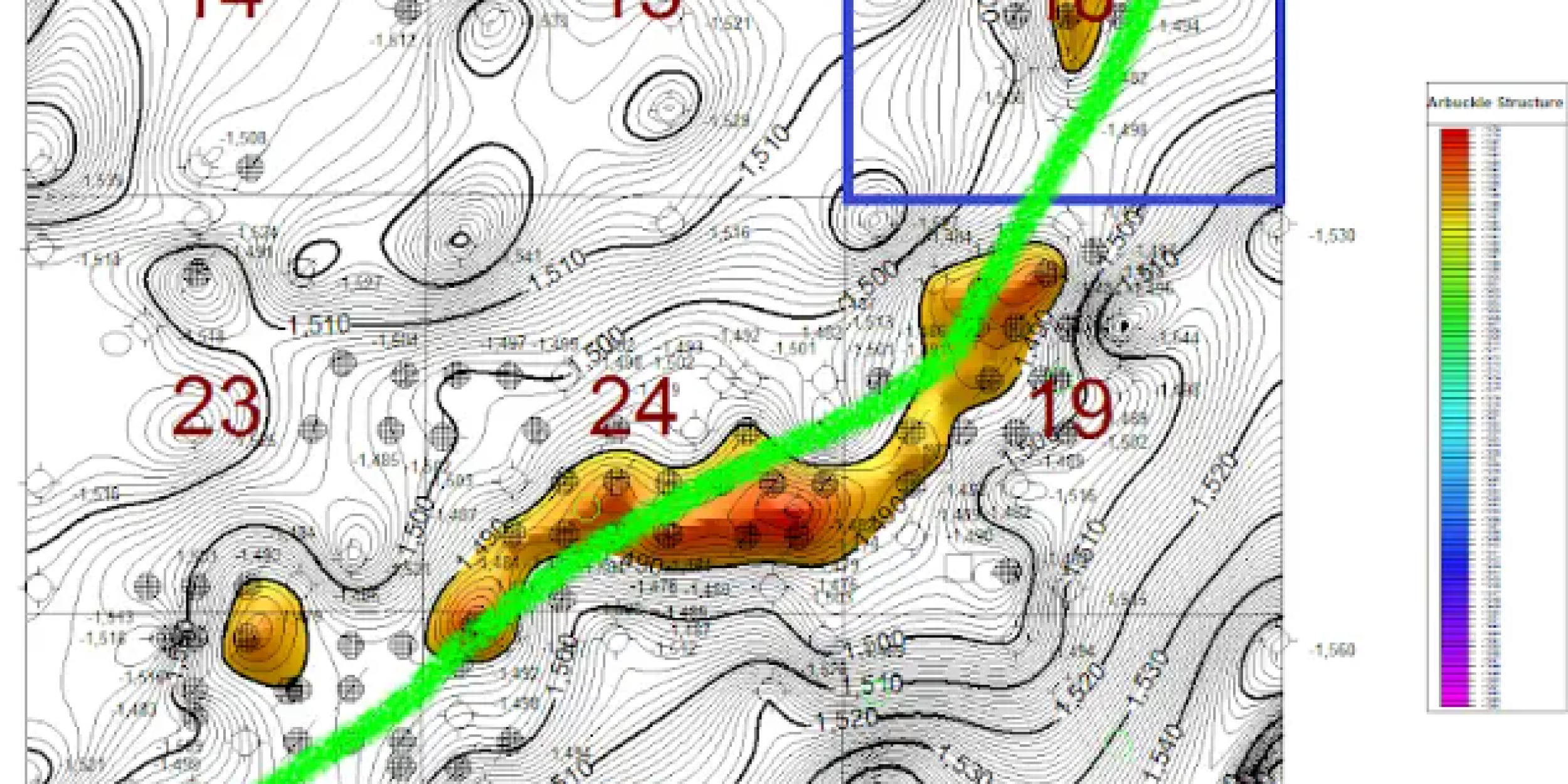
● Contour map color schemes and color legend options, including a greatly improved color pallet creator, are available.
● Dynamic filled scalebars are available for RockPlot2D maps.
● Create a total depth grid and contour map through the Borehole Manager based on the base elevation of boreholes.
● Spatial filtering for Borehole Manager maps plotting downhole stratigraphic, water level, and I/T-Data labels have been added.
Logs, Sections, and Profiles
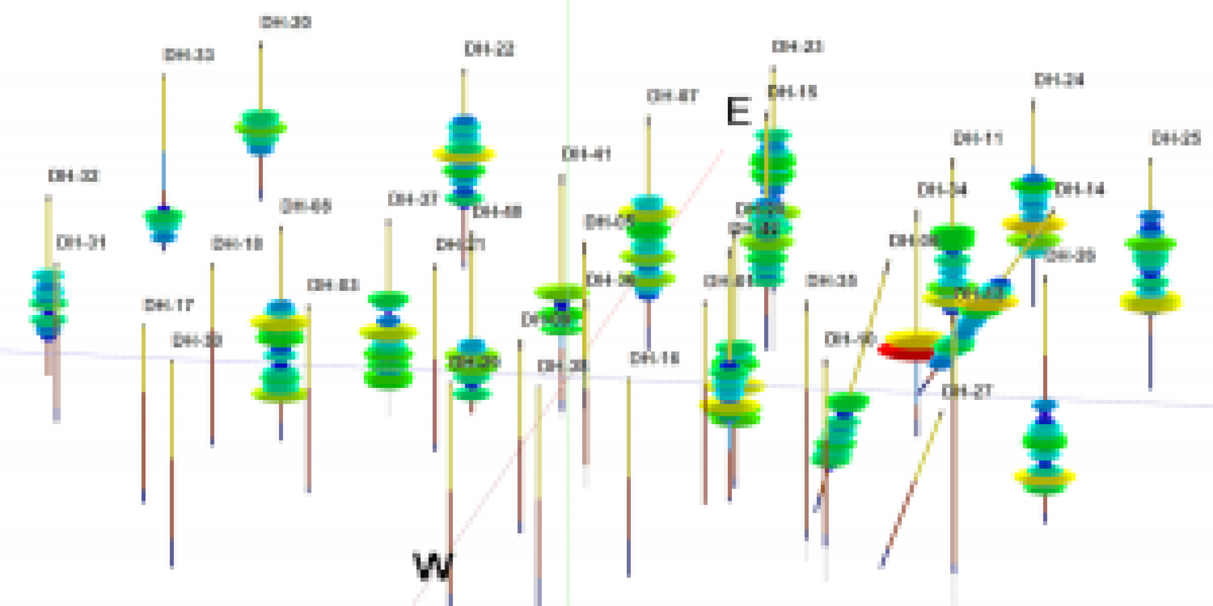
● Well construction strip logs are drawn based on the order defined in the well construction type table, making it easier to display overlapping well components.
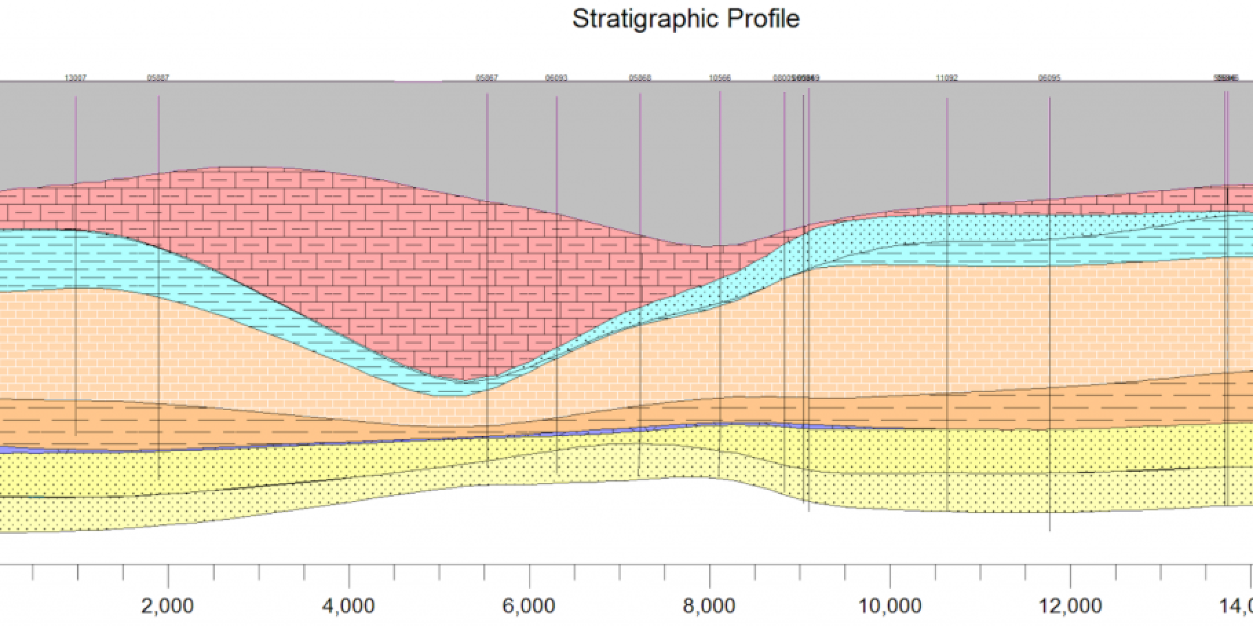
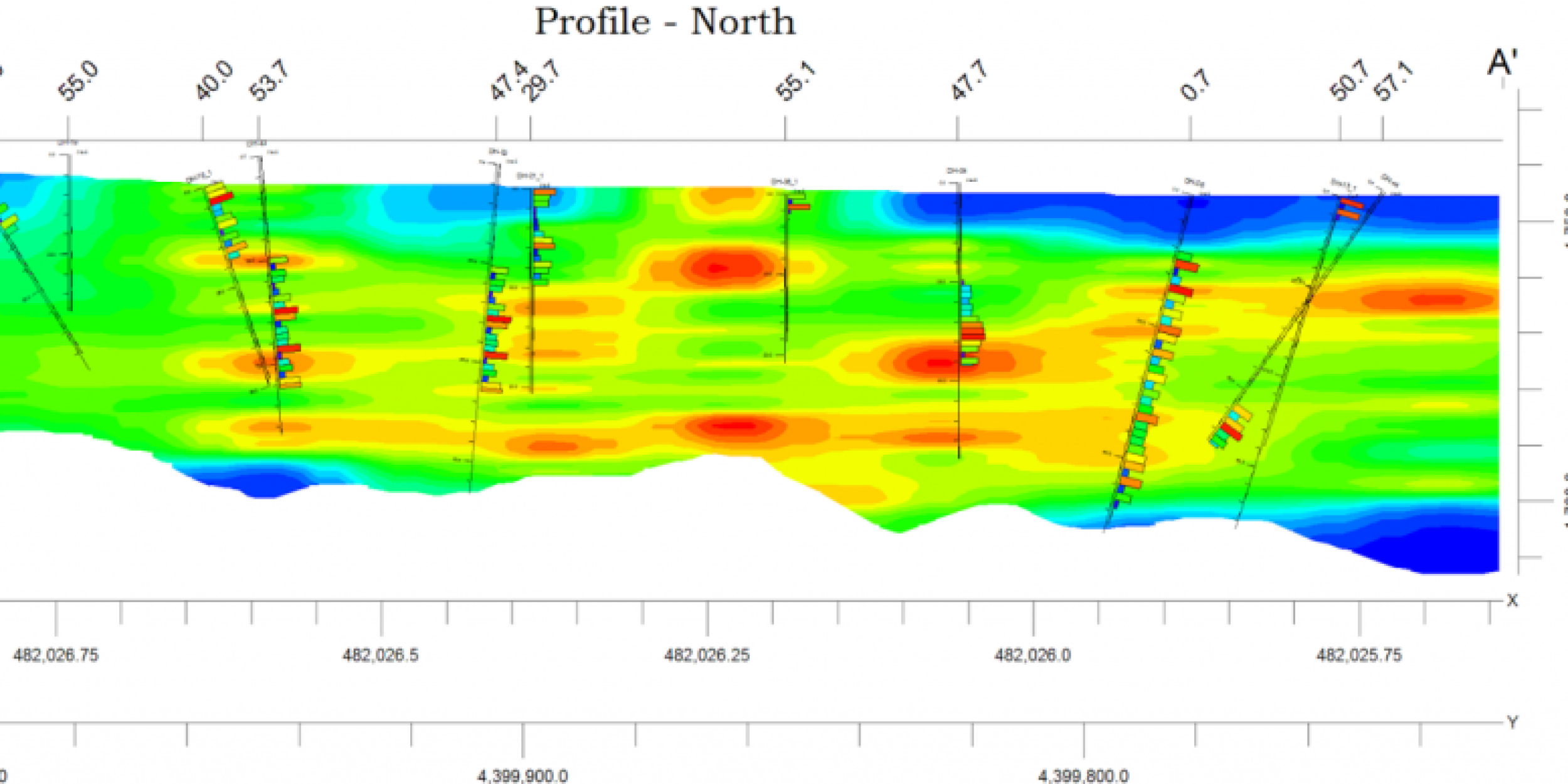
● Contoured sections and profiles are drawn much faster.
● Water levels in 2D and 3D strip logs can be colored based on the aquifer types table.
Borehole Manager Database
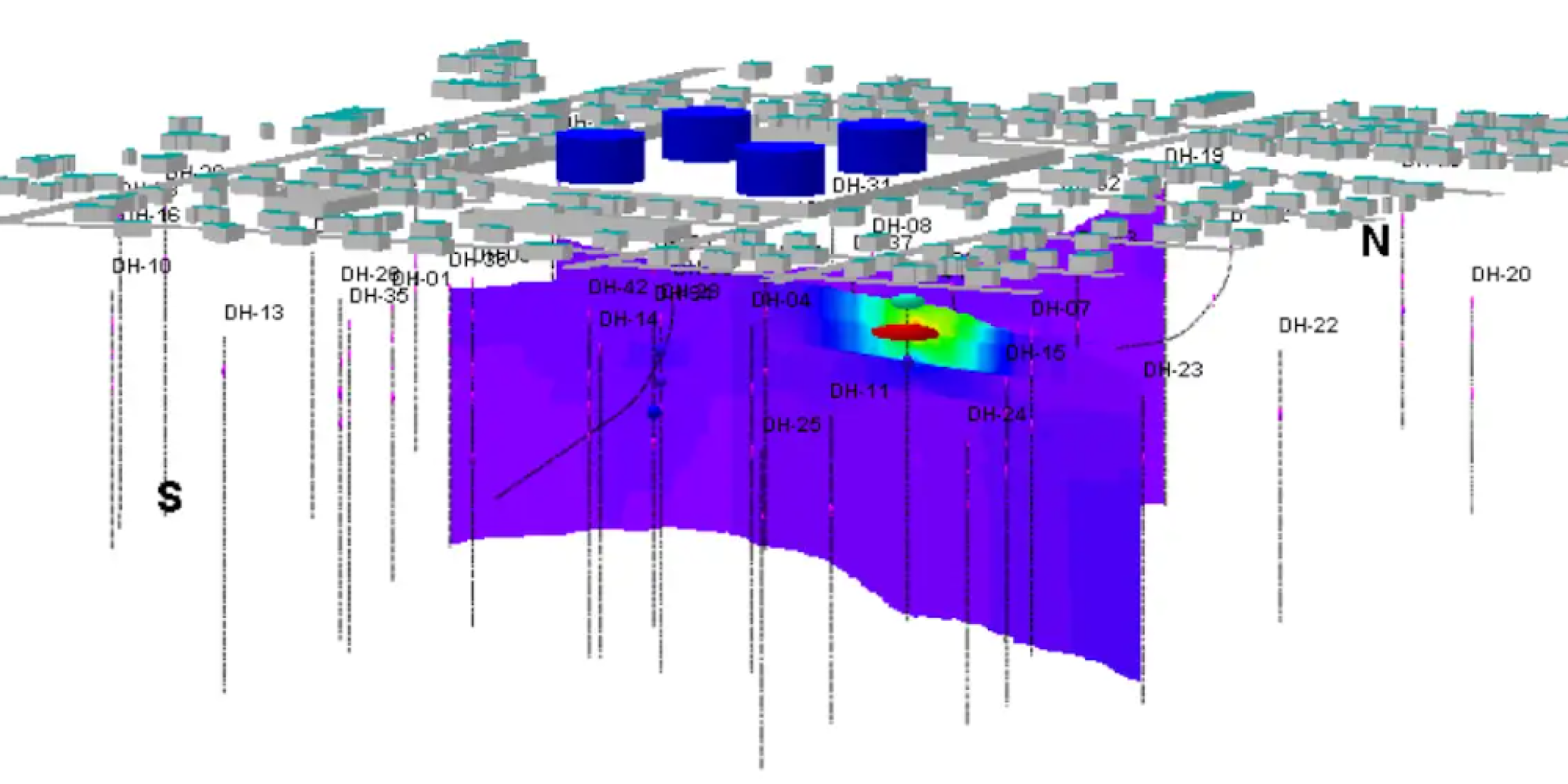
● The adjusted borehole elevations based on a grid feature now provide options for updating the collar elevation field.
● The Excel, text, and CSV data Import options for water levels and I/P/T Data more easily append data from new sampling events to the database.
● Import point Shapefiles into the Borehole Manager database to create new boreholes
Stratigraphy/Lithology
● The Stratigraphy Picker has the option to snap to existing lithology contacts.
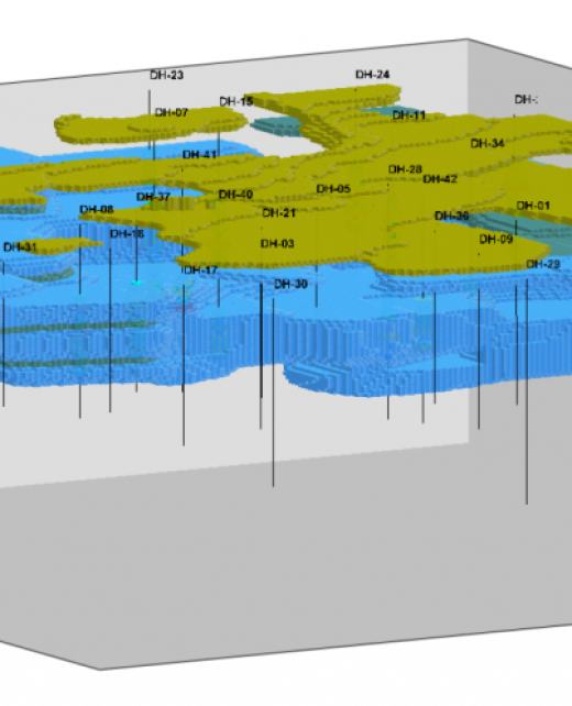
● Lithology isopach creation, now offering both grid-based and voxel-based tools
I/P/T Data
●Time graph tools, including the additional spatial and time filters.
Grid Models
Pinchout Filter for limiting the extent of stratigraphic units based on a minimum thickness or polygon file.
GeoTIFF import tools to convert DEMs to RwGrd files.
Redesigned Grid Math interface with new equation options and multi-step calculations.
Grid data extraction tool extracts data from an RwGrd file based on a list of XY points stored in the datasheet.
Better null replacement value options are available during grid creation.
Solid Models
- The Volume ‘Extract Via Surface Extraction’ program has been redesigned and improved to calculate better stripping ratios for floating cones.
- Resample (fine-to-coarse) program that converts high-resolution solids to low-resolution solids based on chosen options (high, low, average, etc.).
- Fade with depth program decreases model values (i.e., concentrations) below a specific elevation or user-defined surface.
- Redesigned solid math Interface with new equation options and multi-step calculations.
- Solid data extraction tools extract data along a borehole trace or based on a list of XYZ points stored in the datasheet.
- Better null replacement value and smoothing order options are available during solid model creation.
Features
Faulting
- 2D Faults for faster modeling and visualization of vertical faults.
- Display of contours in faulted sections, profiles, and maps.
- Fault import options, including triangulated surfaces and the conversion of contours to a fault surface
RockPlot2D
Lockable layers for easier editing of complex diagrams.
Raster and PDF exports.
Shapefile Import that now imports/labels contour lines based on elevations for 3D polylines or attributes.
RockPlot3D
- Copy and paste functionality allows for easy creation of duplicates of isosurfaces or other items.
- RockPlot3D stores and uses relative file paths for images, making it easier to share projects or provide RW3D deliverables.
- Grid and solid Metadata is stored and accessed through RockPlot3D.
- OBJ File export for use with Sketchfab, 3DPDFs, and other graphics tools.
- Option to offset items or groups of items in the X, Y, or Z directions.
Whatever your data challenge, we are ready to listen!
Contact us now and our team will be happy to learn about your business challenge and discuss solutions.

