Borehole
Image Analysis
See the subsurface data
in High Resolution with GeoEnergy
Borehole Image Analysis and Interpretation Services
Optimize Your Oil and Gas
Production with A High-Resolution Well Image
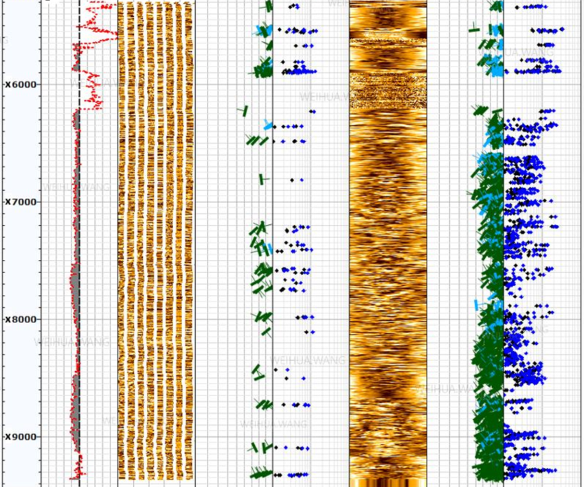
GeoEnergy delivers world-class insightful, and detailed Borehole image analysis and interpretation services to help oil & gas companies obtain and interpret high-resolution images of the subsurface formations to understand the geological features and properties of the surrounding rock, including fracture identification, faults, bedding planes, and lithology.
Service Deliverables
Deliver interpreted structural logs or cross-sections that illustrate the orientation, dip, and spacing of these features.
Utilize borehole images to characterize reservoir properties such as porosity, permeability, and fluid saturation. Identify and delineate reservoir zones, evaluate their continuity, estimate petrophysical properties, and deliver reservoir characterization reports & maps that aid in reservoir modeling and simulation.
Integrate borehole images with other well data, such as wireline logs, core data, and production data. Provide integrated interpretation reports and visualization tools that allow clients to correlate and analyze multiple data sources for a comprehensive understanding of the subsurface.
Provide interpreted stratigraphic logs or correlation panels that illustrate the interpreted formations and their relationships.
Perform geomechanical analysis using borehole images to assess rock mechanical properties, stress regime, and stability,eEvaluate borehole breakouts, drilling-induced tensile fractures, and stress orientation, and provide geomechanical analysis reports and recommendations for wellbore stability and hydraulic fracturing operations.
Utilize specialized software to create 3D visualization and modeling of borehole images. This helps clients visualize and interpret the subsurface in a more immersive and realistic manner. Deliver 3D visualization models, virtual wellbores, or interactive interpretation platforms.
Deliver fracture analysis reports, fracture maps, and statistics that help clients understand the fracture characteristics and their impact on reservoir quality and fluid flow.
- Assess the quality of wellbore drilling and completion using borehole images. Identify drilling-induced damage, borehole rugosity, washouts, and other wellbore stability issues. Deliver wellbore quality evaluation reports with recommendations for wellbore remediation or optimization.
Offer expert consultation and recommendations based on the interpretation of borehole images. Assist clients in making informed decisions regarding reservoir characterization, well planning, and production optimization strategies.
Simplifying Complex Data Challenges with GeoEnergy
GeoEnergy has the required technical capability to overcome challenges facing oil & gas companies with robust Borehole Image Analysis and Interpretation services. Some of the key challenges we help to solve include high-angle and horizontal wells, formation damage, tool limitations, the accuracy of borehole imaging data, depth matching, temperature & pressure, and noise interference. Being essential for the successful exploration, development, and production of oil and gas activities, we help businesses improve reservoir characterization, increase hydrocarbon recovery, reduce risk, improve reservoir management, minimize drilling costs, enhance safety, and extend reservoir life.
Services Key Features

Borehole Image Data Loading QC & Processing
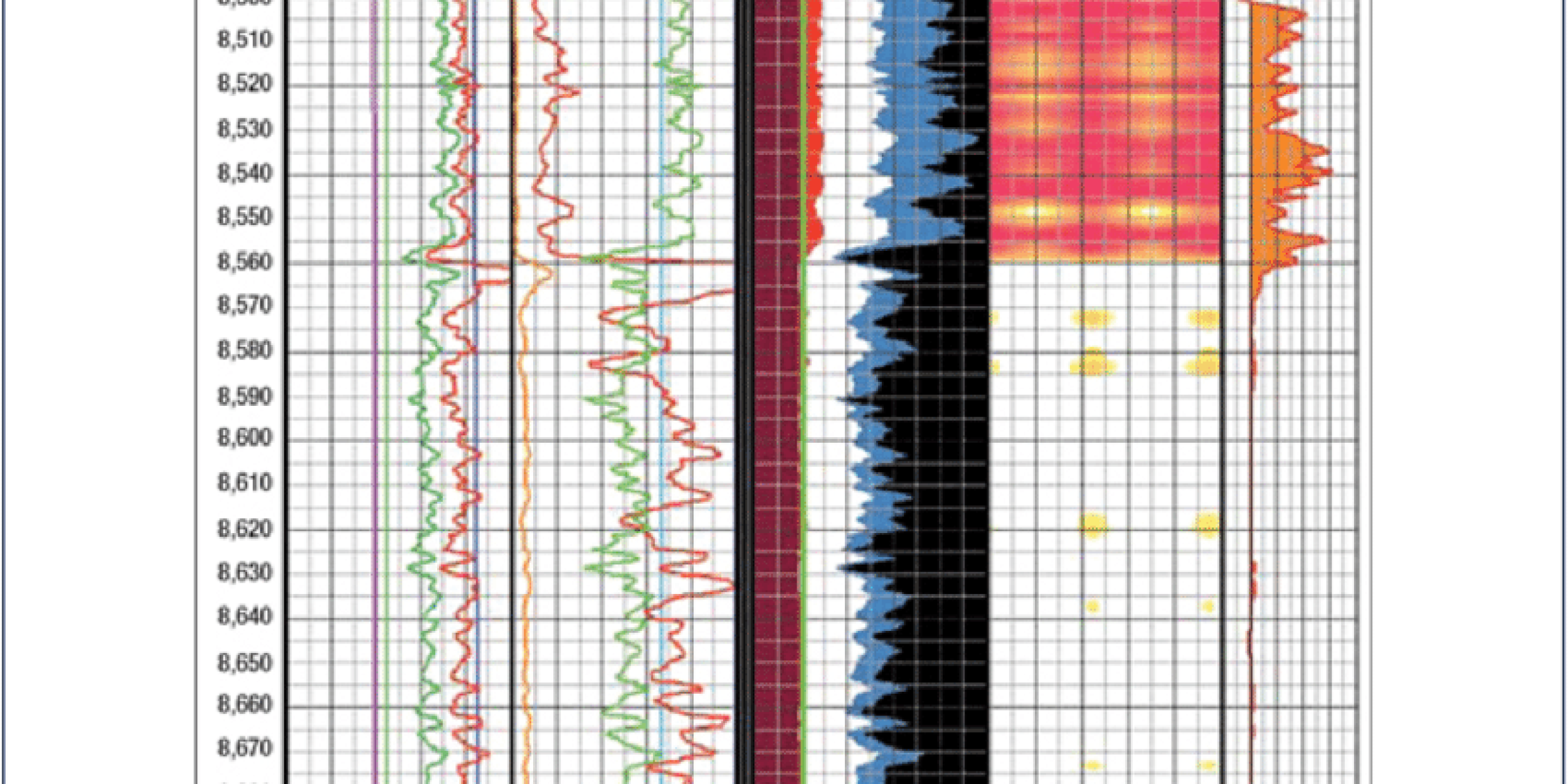
In situ-Stresses Analysis
Interactive (Manual) Dip Computation
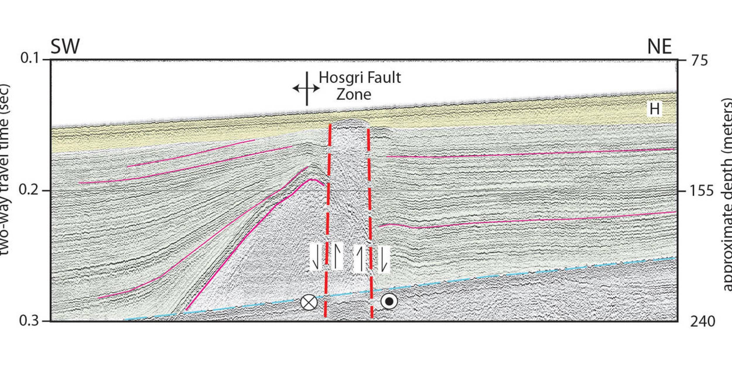
Structural Dip Interpretation
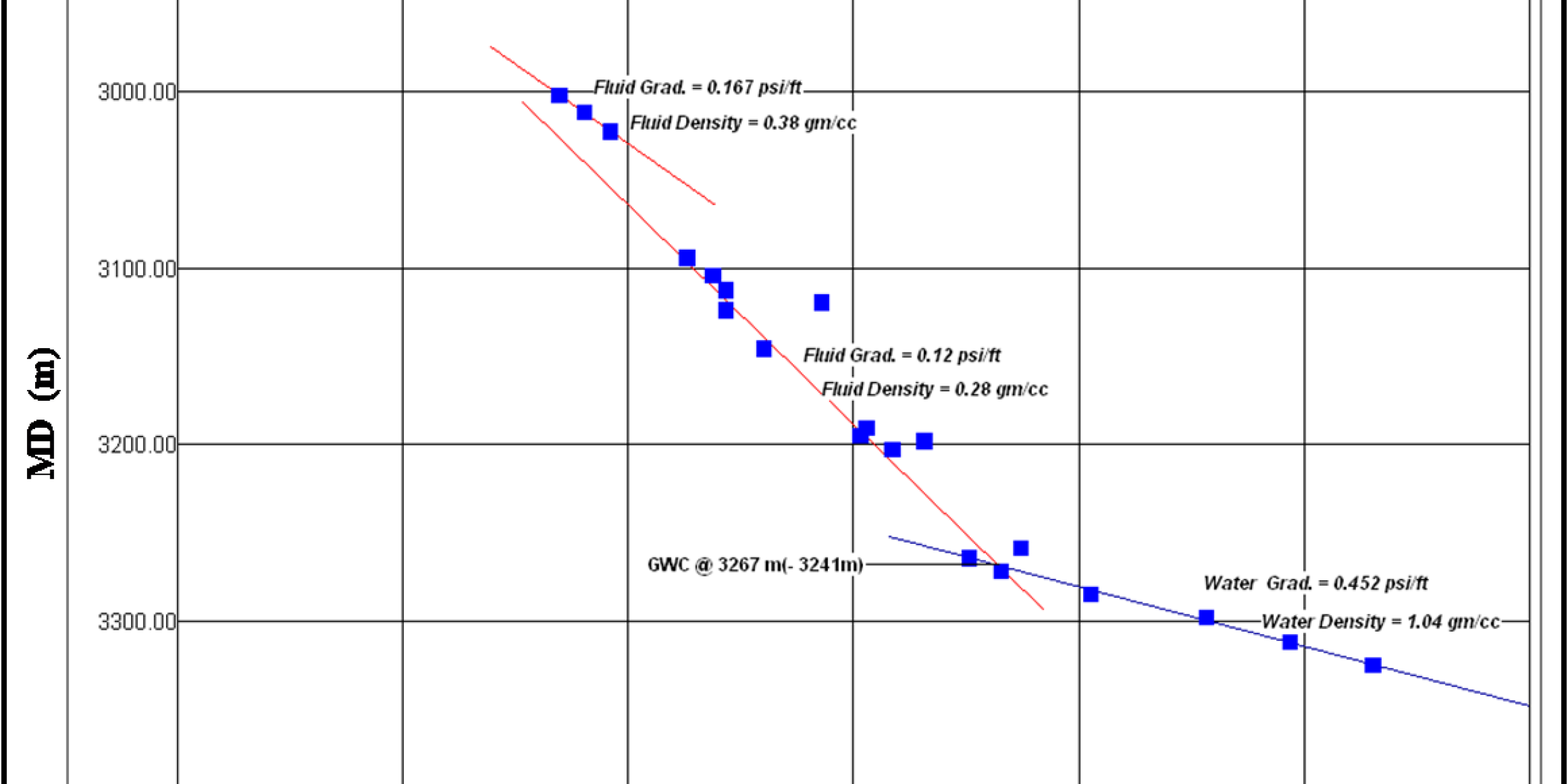
Structural Dip Zonation
Automatic Dip Computation
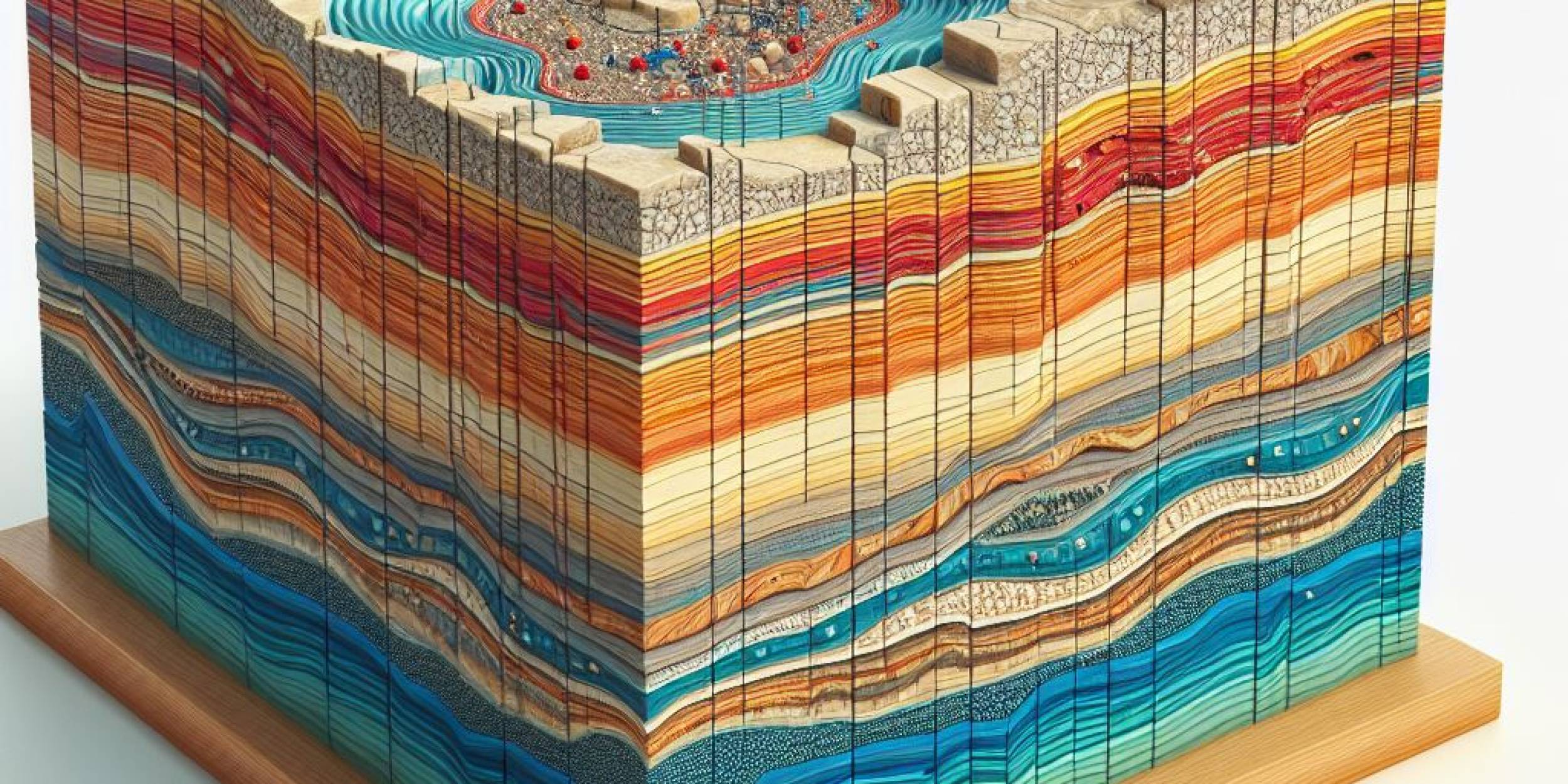
Paleocurrent Analysis
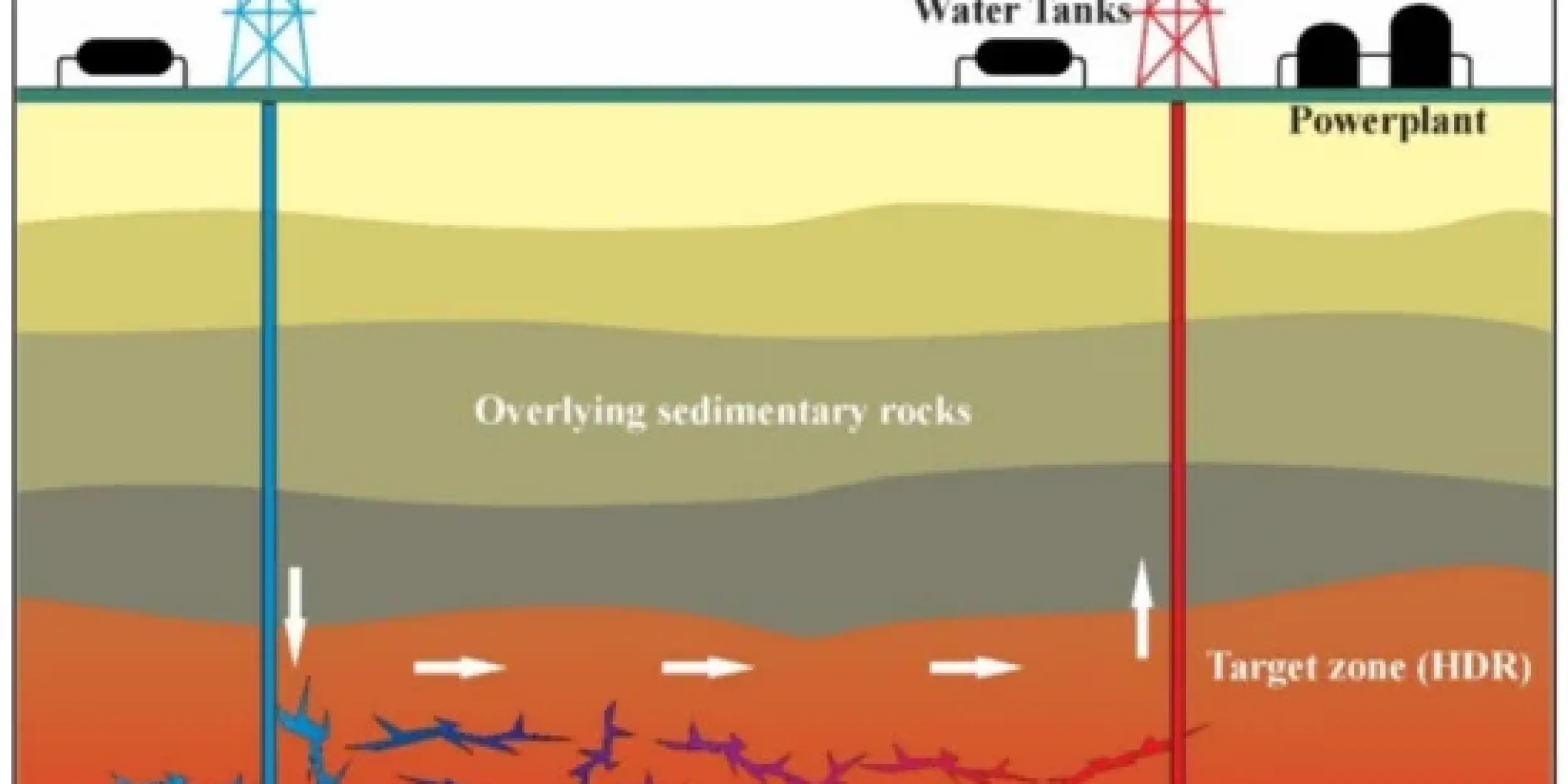
Fractures Analysis
Facies Interpretation
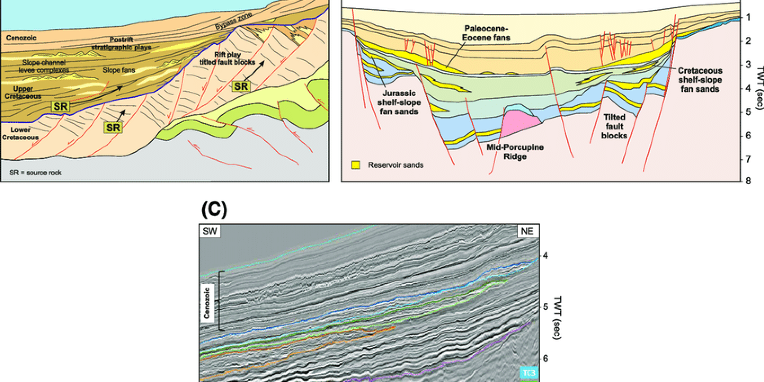
Stratigraphic Dip Interpretation


Why GeoEnergy?
Make the Right Decisions for Your Reservoir using our reliable data solutions.
With GeoEnergy’s Borehole Image Processing and Interpretation Services, you will gain valuable insights into reservoir characterization, fracture characterization, lithology interpretation, petrophysical evaluations, and wellbore stability assessments. These services help optimize drilling and completion operations, enhance reservoir understanding, and improve production performance.
Make better decisions about exploration, development, and production with GeoEnergy borehole image analysis and interpretation Services
Contact us today to schedule an appointment with our expert and explore how our comprehensive subsurface data analysis solutions can push your operations forward.

