Seismic Survey
Design & Validation
Maximize Your Seismic Survey Design Quality, Resolution and Coverage with our Experts Acquisition Geophysicists
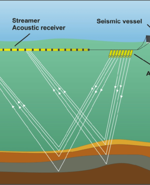
Ensure Accurate Survey Design for
Successful Seismic Acquisition Campaign
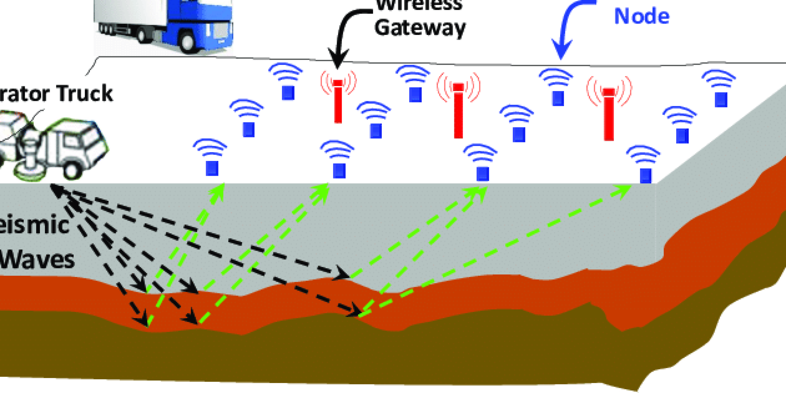
GeoEnergy provides impeccable Seismic Survey Design & Validation services, helping exploration companies plan, execute, and evaluate seismic surveys to obtain accurate and reliable data about the subsurface while minimizing the cost and time of acquisition and processing.
Accurate seismic survey design is essential for optimized data acquisition, improved target imaging and resolution, noise and interference mitigation, survey cost optimization, enhanced subsurface interpretation, quantitative analysis and inversion, geohazard identification, and exploration success with reduced risks. It ensures that seismic data is collected effectively and efficiently, leading to valuable insights and informed decision-making in the exploration phase.
Service Deliverables
Depending on the requirements and the client's objective, we provide:
Signal-to-noise ratio analysis, Spatial aliasing analysis, Far offset analysis, Weathering layer / near-surface analysis, Cost optimization of design parameters, PS feasibility analysis, and 4D comparative examination.
Providing 2D/ 3D Acoustic/elastic finite-difference modeling, raytracing (anisotropic/isotropic), and Data simulation using existing seismic data
Bidders for the provision of seismic acquisition contract.
Our geophysical experts analyze and determine the best parameters and design that achieve the exploration campaign objective by carefully reviewing well data, seismic data, and historical records for the concession area. Our deliverables include:
Survey Design Report
Survey Geometry
Acquisition Parameters
Field Acquisition Plan
Quality Control Procedures
Data Processing Recommendations
Navigating Survey Design & Validation Issues with GeoEnergy
GeoEnergy is an expert in overcoming the myriad challenges in Seismic Survey Design & Validation, addressing issues that span the spectrum from Survey Coverage Gaps and Acquisition Footprint concerns to the range of Source Energy Optimization. We ensure Receiver Layout Irregularities are minimized, and Shadow Zones are adequately illuminated for clearer data interpretation.
Our validation process is comprehensive, accounting for Resolution Contrast in different subsurface layers and optimizing Bin Size and Distribution for data spread. We emphasize Fold Symmetry and Offset and Azimuthal Coverage to provide the best possible imaging. Refraction statistics and Near-Surface Complexity are systematically evaluated to ensure data accuracy and 3D Survey Geometry is validated for precision in-depth imaging.
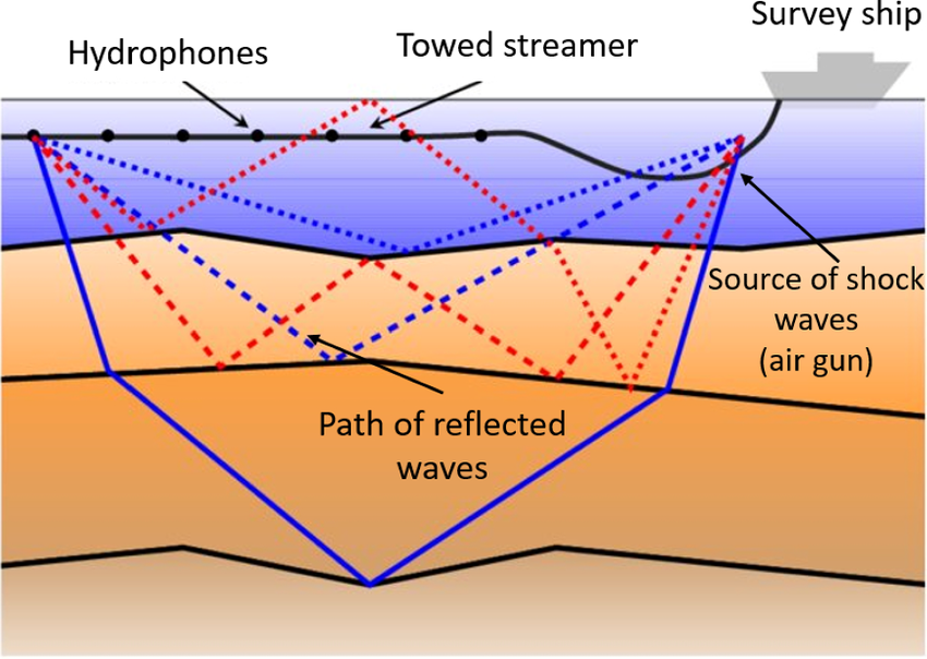
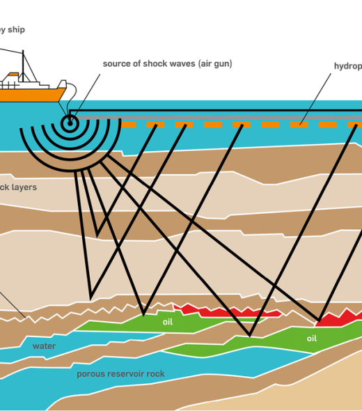
Services Key Features
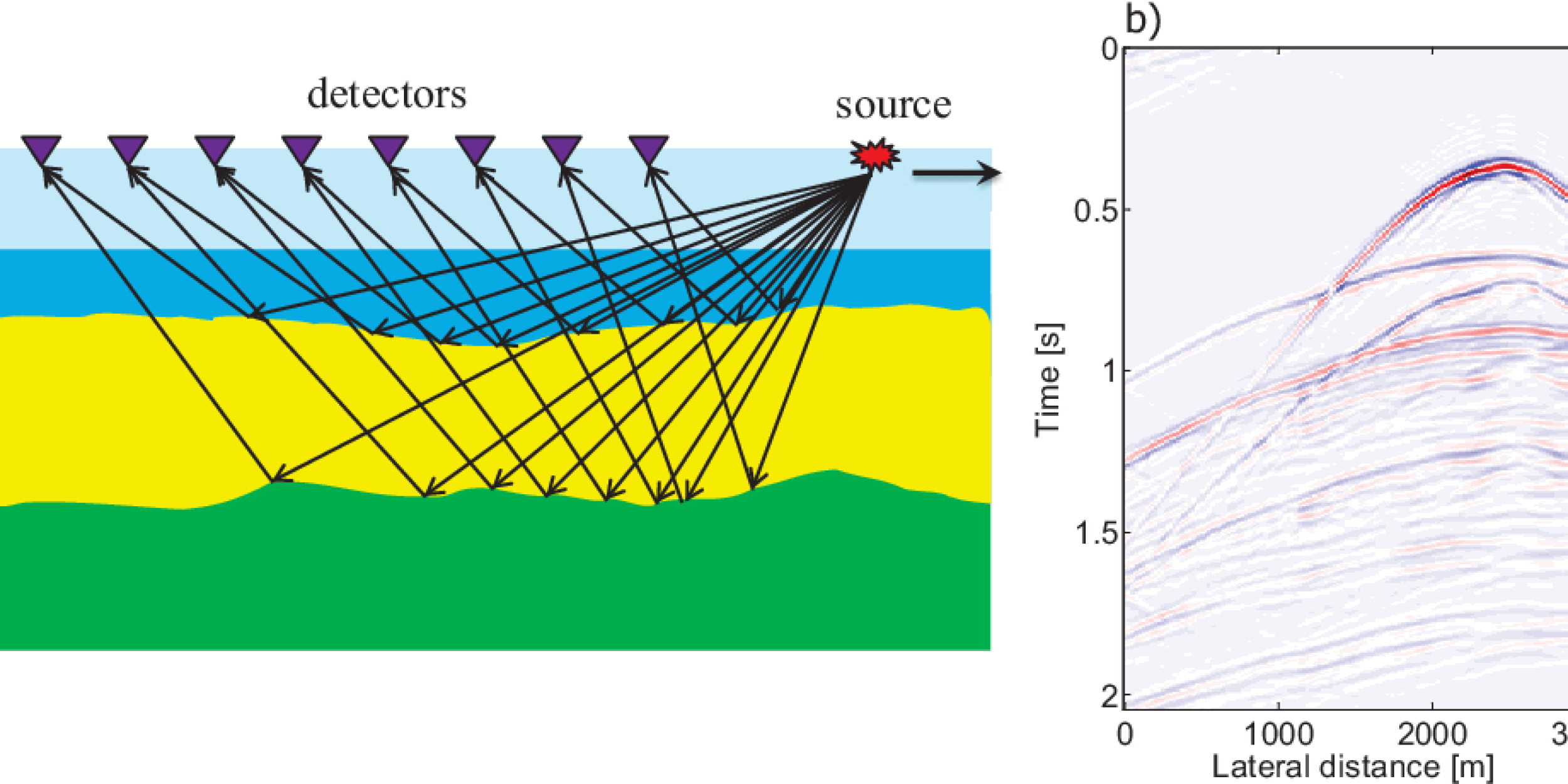
Early Program Conception
Survey Pre-planning

Handling complex geological environments

Field Acquisition Support


Why GeoEnergy?
Your trusted partner for building Reliable Seismic Survey Design
With GeoEnergy’s Survey Design & Validation Services, Your key benefits are:
Improved Data Quality
Ensure getting high-quality seismic data for accurate interpretation and reliable subsurface imaging.
Cost and Time Efficiency
Accurate survey design helps optimize the acquisition parameters and field operations, leading to cost and time efficiencies.
Mitigation of Risks and Uncertainties
Accurate survey design minimizes potential data acquisition issues and uncertainties, leading to more reliable and robust seismic data.
Get an Accurate seismic plan For a Successful Seismic Exploration Program with GeoEnergy’s Survey Design & Validation Services
Contact us today to schedule an appointment with our Geophysical expert!

