Seismic & Well
Locations Reconciliation
The Power of Data Integrity

Enhance safety and security at oil and gas Facilities
by Relying on Accurate Integrated Geodetic Data
GeoEnergy recognizes the significance of precise navigation records in unlocking the complete potential of seismic data. We take pride in our ability to offer fully reconciled SEG-Y data that can be seamlessly and confidently loaded into geoscience Software applications for further analysis, processing and interpretation.
Service Deliverables
We provide services for digitizing shot point location maps and listings, ensuring accurate and efficient data capture from hard-copy sources.
Our expertise includes converting, importing, and manipulating digital location data, enabling seamless integration and effective utilization of the information.
providing maps in digital formats, such as Shapefile, UKOOA, CSV, or KML, which can be easily opened and used in GIS software, including projection, coordinate system, and source data.
Our expertise includes converting, importing, and manipulating digital location data, enabling seamless integration and effective utilization of the information.
ensuring precise alignment and compatibility of seismic data with different coordinate systems or reference frames.
ensuring the consistency and coherence of seismic data across various data types, cross-checking, and exporting verified accurate navigation data sets.
Tackling Data Challenges Through GeoEnergy’s Seismic & Well Locations Reconciliation
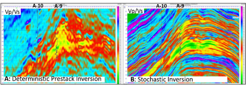
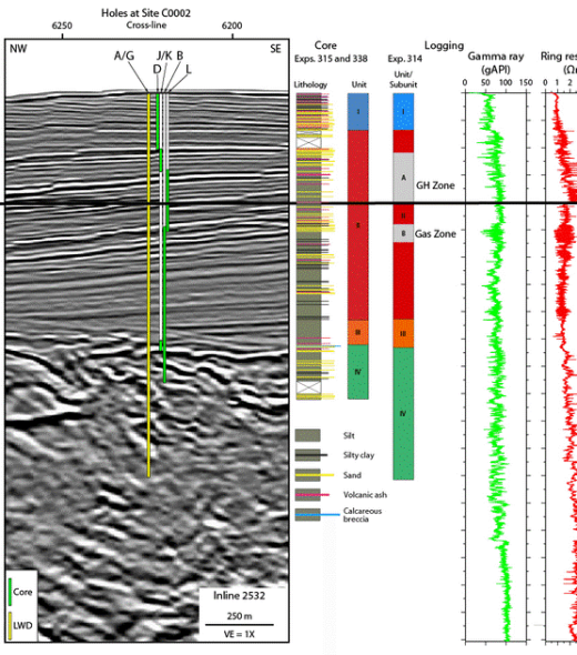
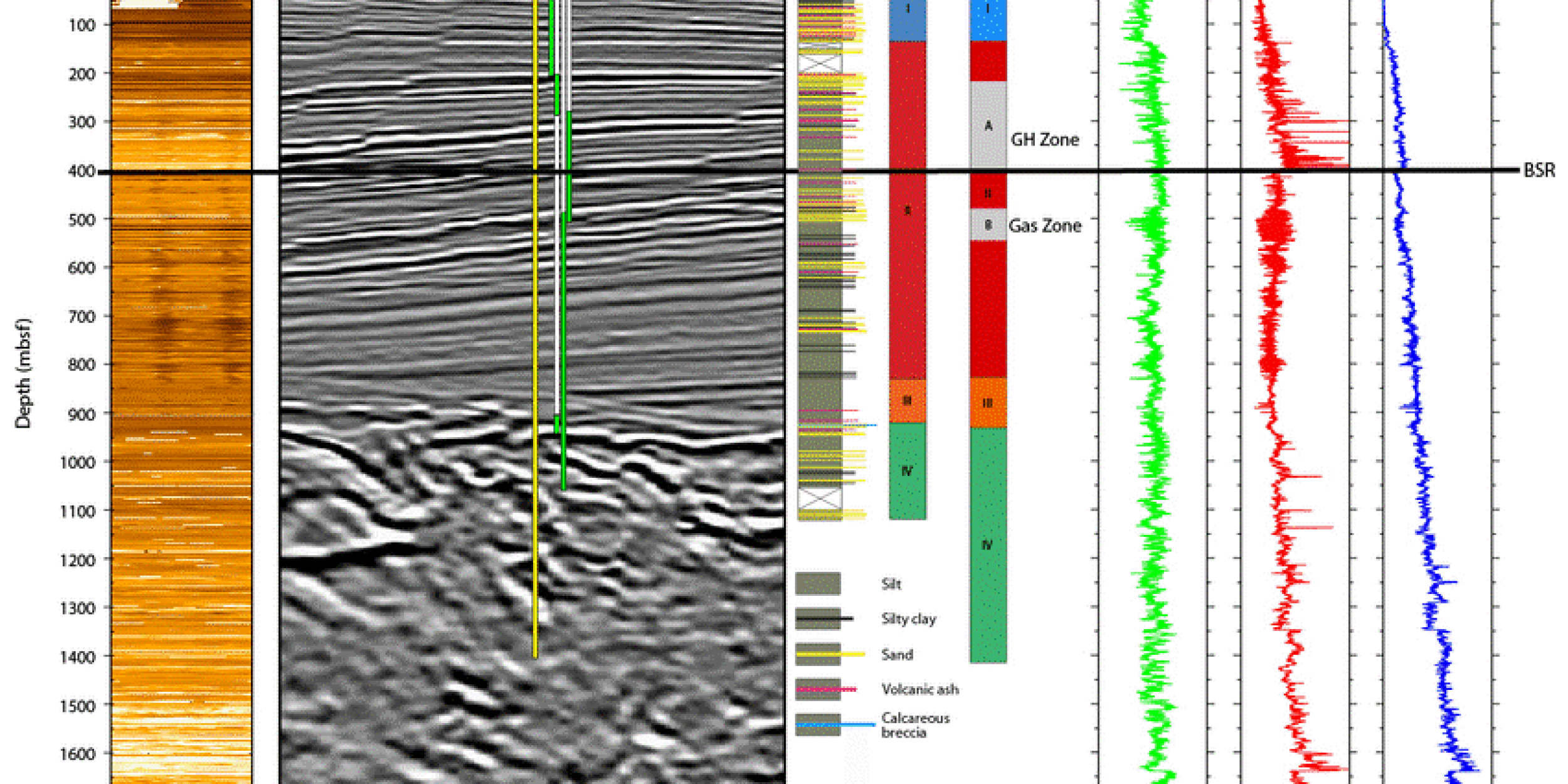
GeoEnergy is experienced in overcoming the multifaceted challenges of Seismic and Well Locations Reconciliation. Our approach standardizes workflows to manage the integration of seismic data with well log data, ensuring consistency across multiple data resources. GeoEnergy’s experts are skilled in identifying and resolving datum discrepancies and navigation errors that can cause seismic interpretation variance.


Services Key Features

Data Validation

Geodetic Transformation

Quality Control

Data Integration


Why GeoEnergy?
Get a complete and integrated view of your subsurface data with GeoEnergy Seismic & Well Locations Reconciliation Services.
GeoEnergy’s Seismic & Well Locations Reconciliation services ensure accurate and consistent positioning of seismic and well data, enabling effective analysis, interpretation, and decision-making processes in the Exploration and Production phases.
Improve your Geodata quality and integrity with GeoEnergy’s Seismic & Well Locations Reconciliation
Contact us today to schedule an appointment with our expert and explore how our comprehensive subsurface data management solutions can push your operations forward.

