")
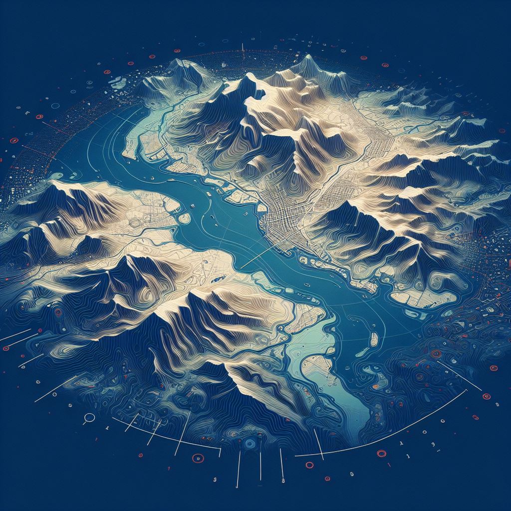

Geoespacial Data
Get your digital maps ready to perform spatial modeling and make informed decisions.

Accurate Georeferenced Data
Using satellite images, well data, and seismic lines for cross-referencing for impeccable accuracy.


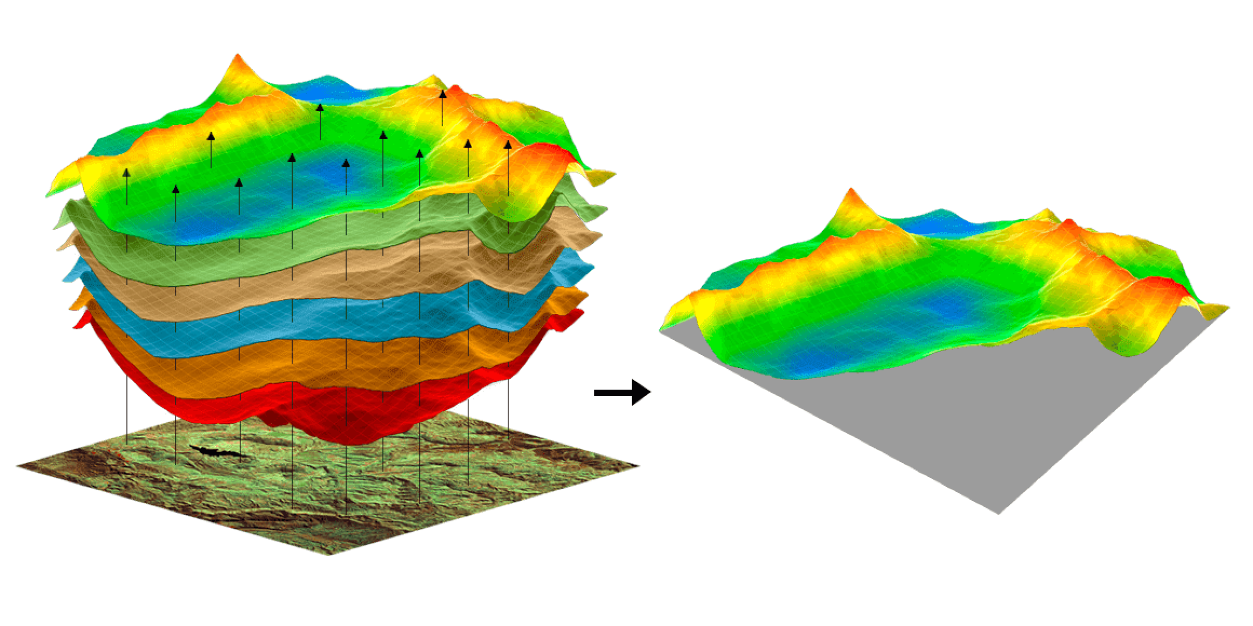
experience and the latest technologies, GeoEnergy helps oil & gas companies increase the efficiency of their operations through Maps Digitization and Georeferencing, converting paper maps into digital format and assigning real-world geographic coordinates to these digital maps.
service includes enhancing data visualization, capturing attribute data associated with the map features, creating customized map styles, adding labels or annotations, generating visually appealing maps for specific purposes or target audiences, eliminating errors, validating georeferencing accuracy, and verifying the attribute data against reliable sources.
that are compatible with GIS software and systems and overlaid with other geospatial data, improving data accuracy and reliability, increasing efficiency, reducing costs, and making better decisions.
Digitizing all paper maps, such as structure contour maps, satellite images, and aerial photographs.
Georeferenced map files that overlaid on other geographic data for cross-checking, accuracy, and validation.
providing maps in digital formats, such as Shapefile, UKOOA, CSV, or KML, which can be easily opened and used in GIS software, including projection, coordinate system, and source data.
creating shot point maps.
GIS data conversion from one format to another with accurate projection.
building geodatabase for exploration activities and outputs
GeoEnergy’s technical expertise and agile mindset make it the perfect Geo partner to overcome Map Digitization and Georeferencing issues like data quality & accessibility, different data formats, large datasets, few available ground control points, poor-quality satellite imagery or aerial photographs, diverse map projections and coordinate systems, complex geological formations, hazardous environments, specialized software and hardware, and quality control procedures.
At GeoEnergy, our technical acumen and flexible approach equip us to handle the complexities of Maps Digitization and Georeferencing. We expertly navigate issues stemming from Seismic Data Resolution and Time-depth Conversion Accuracy, ensuring that seismic maps translate into precise digital formats. Our team adeptly corrects Seismic Line Tie Errors and remedies Digitization Artifacts, maintaining the integrity of the data.
Ensure data standardization with GeoEnergy’s Maps Digitization and Georeferencing services.
Contact us today to schedule an appointment with our expert and explore how our comprehensive subsurface data management solutions can push your operations forward.