Geospatial Analytics
The Key to Smarter Oil & Gas Operations

See Your Oil & Gas Data in a New Light with Geospatial Analytics
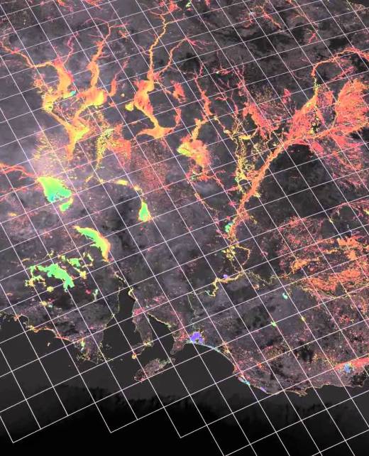
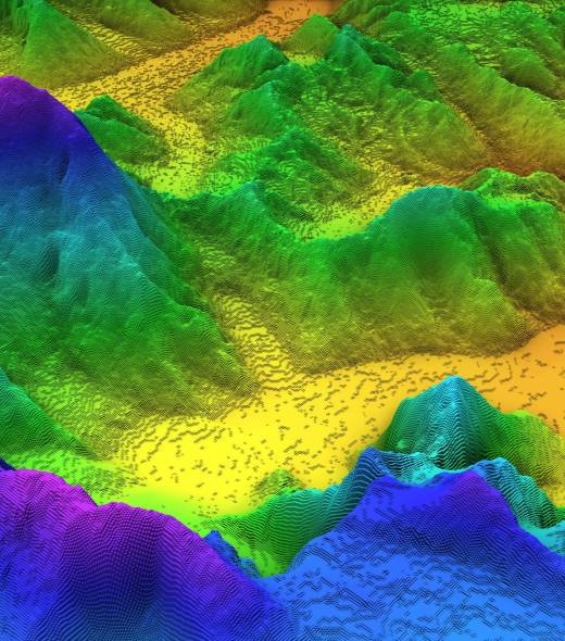
Geospatial analytics is a field that uses spatial data analysis driven by geological maps and satellite images and integrated with artificial intelligence (AI) and machine learning (ML) techniques to exploit valuable insights from the geospatial data.
GeoEnergy specializes in Geospatial analytics, empowering oil & gas companies in their exploration & production, drilling operations, and asset management through collecting, analyzing, and visualizing geospatial data from multiple sources to provide a better understanding of data patterns, trends, and relationships.
By leveraging geospatial analytics, E&P companies can make informed decisions, optimize operations, reduce risks, and maximize the value of their exploration and production activities. These deliverables provide valuable insights into the spatial aspects of E&P operations, enabling efficient resource management, improved decision-making, and sustainable development.
Service Deliverables
Analyzing geological and geophysical data to identify prospective areas for exploration and estimate the volume and quality of hydrocarbon resources.
by integrating and analyzing various data layers, such as seismic data, well logs, production data, and economic factors. It helps in identifying and quantifying exploration and production risks, optimizing investment decisions, and prioritizing assets based on their potential.
We help in planning and managing E&P infrastructure, including pipelines, facilities, and transportation networks. It aids in site selection, route optimization, and asset monitoring, enabling efficient operations and asset management.
Identifying structures, stratigraphic traps, and potential drilling targets based on spatial and attribute analysis.
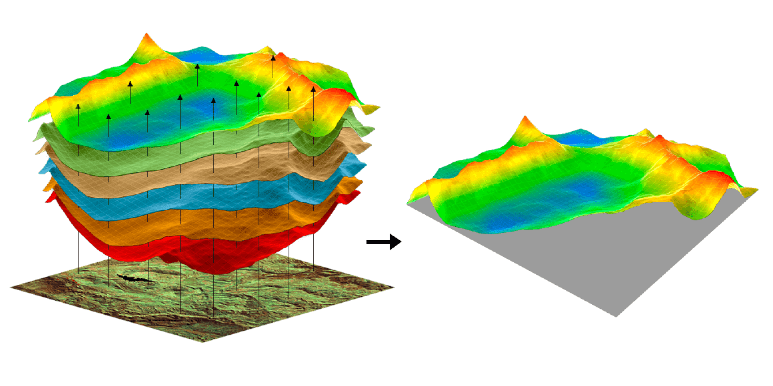
Geospatial analytics facilitates the integration of diverse geospatial datasets, including seismic surveys, well data, satellite imagery, and infrastructure data. It enables the visualization of this integrated data, providing a comprehensive view of the spatial relationships and patterns within the E&P operations.
Geospatial analytics can assist in assessing and managing the environmental impact of E&P activities. It involves analyzing spatial data to identify sensitive areas, assess potential risks, and develop mitigation strategies to minimize the impact on ecosystems, habitats, and communities.
Considering spatial factors such as reservoir properties, well spacing, drilling trajectories, and infrastructure constraints. It supports decision-making related to well placement, trajectory design, and field development optimization for efficient production.
We assist E&P companies in complying with regulatory requirements by providing spatial data analysis and reporting. It helps assess environmental, safety, and land-use compliance, ensure adherence to regulations, and minimize legal and operational risks.
Handling Data Challenges Through GeoEnergy’s Geospatial Analytics
GeoEnergy supports E&P companies’ operational objectives by tackling the Interoperability of GIS Tools. We enable seamless integration across the varied platforms that process Remote Sensing Data and Sensor Data Integration. GeoEnergy’s expertise extends to overcoming Data Fusion Challenges, providing accurate Location Intelligence, and enhancing Geovisualization Fidelity.


Services Key Features

In-Depth data integration

Advanced spatial analysis

Predictive Modeling

Enhanced decision support


Why GeoEnergy?
Transform Your Oil & Gas Data into Actionable Insights with GeoEnergy’s Geospatial Analytics Services.
Unlock the power of location intelligence with GeoEnergy’s Geospatial Analytics Services
Contact us today to schedule an appointment with our expert and explore how our comprehensive subsurface data management solutions can push your operations forward.

