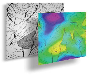
GeoEnergy array of capabilities provide the map Geoprocessing solutions starting from Scanning, digitizing to Georeferancing Overlays.
We offer accurate integrated mapping services including:
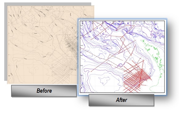
- Digitizing all paper maps such as location maps, geological and topographic maps
- onversion of aerial photographs, satellite images to digital files in varied industry standard formats that compatible with most geological and geophysical software.
- Projection, Datum and Coordinates conversion.
- Image Georeferancing.
- Map correction, conditioning and re-scaling